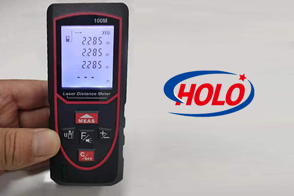
The soil surface roughness detection method based on distance distance meter is currently recognized as the highest detection accuracy and resolution and the most widely used method.
A rectangular steel frame is built above the parallel soil surface, and the digital distance meter is installed on the horizontal bar of the steel frame. During the detection, it scans vertically to the soil surface; the horizontal bar can slide back and forth on the steel frame driven by the motor in combination with the scanning frequency of the laser distance meter. The computer connects the laser distance meter and the motor through the bus to control the operation of the entire detection system. The soil surface data scanned by the laser distance meter is saved in the computer frame by frame, and the point cloud data of the soil surface in the geodetic coordinates can be obtained through coordinate conversion after the scanning. Since noise and interference are inevitably accompanied during the detection process, the obtained point cloud data must also be filtered. Then the interpolation algorithm is used to reconstruct the three-dimensional map of the soil surface, and finally the soil surface roughness is evaluated in combination with relevant algorithms. In the actual field test, the digital distance meter is installed on the tractor, and it can be selected not to scan vertically to the soil surface.

